
In the last blog my colleague Pascal described how the Historiana Learning Team had searched for digital tools that could be used to enhance historical learning. In the first blog about an actual tool I thought I would write about my favourite – HistoryPin.
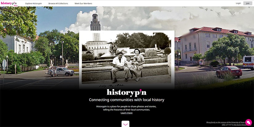
HistoryPin allows users to ‘pin’ historical photos or sound clips to the exact location where they were taken on a GoogleMap. For example looking up my address in Bristol, UK (from where I am currently writing this blog) someone has ‘pinned’ a photo of the old museum as it was in 1940 after the Nazis had bombed the city.

Zooming out to the world map there are genuinely hundreds of thousands of ‘pins’. Some countries have more than others (for example, there are thousands in the UK but only a small number in Croatia, the country of my colleague Miljenko). This alone is a fantastic resource for the history teacher as there are brilliant photos you can use in your classroom.
However, this ace website can also be used by your students to improve their historical thinking. Here are a few suggestions:
- Get them to ‘pin’ their own photos
Set your students the challenge of finding old photos of your town or village and get them to ‘pin’ them on to HistoryPin. This would be a great way of getting your students to engage with local history and if you did it as a whole class you would be able to get a large enough collection with which to do further analysis. This is a very good way of getting your students to be real historians and understand the community in which they live
2. Take your students on a ‘virtual’ field trip
Taking students out of the classroom can be difficult and can cost a fortune. So why not take your students on a virtual field trip? Lots of places we study have thousands of pins. For example, Berlin has hundreds. There are 227 of the Brandenburg Gate alone! Give your students a tour itinerary, for example the Brandenburg Gate, the Reichstag, Potsdamer Platz and Alexander Platz and get them to find photos of a period (e.g. the 1940s) and describe what they can see. You could make this even more challenging by then getting them to do the same itinerary in the present day using Google Street View and comparing the differences.

- Change and continuity
Where HistoryPin gets really clever is where it interacts with Google Street View. Find an image that interests you and then click on the little orange Google Street View man in the bottom right hand corner and HistoryPin automatically pins the historical photo onto the modern day scene. Here’s one I did with Bristol again:

This is neat on its own as it really makes the history come alive. But where this gets better is with the slider at the top of the page. Drag the pink dot along the line and the historical picture fades in and out of the modern day scene. This is brilliant for the history classroom as it is a really easy tool to teach change and continuity – asking your students to see what changes or what stays the same as you or they fade the picture in and out.
These are just three simple ideas to use this tool. There are many many more! If you do use this we would love to hear your experience so please do add a comment below.
4 responses to “History Pin”
I successfully created my first HistoryPins 😉
Thanks
Only 69 pins in Croatia.
Only 69 is a disgrace. It is your personal duty to add more Miljenko! Really easy to do and visually brilliant.
Added 7 so far. Will do more when I go back to work at school.