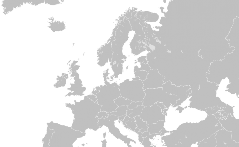
Helping students to develop their sense of place
Students get pieces of paper with the names of countries. They have to distribute the names across an imaginary map, This could be at their desks, or using the whole of the classroom. This improves and revises their knowledge of geography. Having a sense of place and the distances between places is key to historical understanding. If this is done at desks, then pairs or triads who compare results afterwards.
When teaching about migration this may be a starting activity. The level of difficulty is decided by the places the teacher chooses to include. It may be a good idea to start with 5-7 countries that students know well, adding the less-known afterwards. Examples of where it can be used are to make sure students understand:
- The location of key allies and neutral countries in 1914,
- The map of Europe on the eve of World War Two,
- The locations from which people left for the first Crusade.
Acknowledgements: Richard Kerridge.
